

Hiking Route: Midlands, Sywell, Northamptonshire
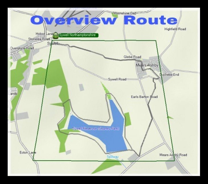
This is the planned route to the Reservoir. It is a circular walK, moderate. Starting from breadcrumbs 1 as described in my earlier post on invite. If you have a Garmin GPS: 750t or of similar model - the Oregons I could share this with you on start of location. For those who have paper map: OS Explorer map(1:25K) see my invitation for starting grid reference and location. Further information available for members 🙂
posted on 16/07/2017 by Be Beetlehike
Comments (1)
Please log in to add comments.
Beetlehike
16/07/2017 11:16
Excellent for anytime: timeless walk!
© Image posters are the sole copyright owners of the image. Images may not be copied or used in any way without the express permission of the poster.